As part of June’s epic week
of cycling, my riding buddy Zack and I took a lovely Wednesday afternoon to journey
through southwest Philly, inside the wildlife refuge and loop around the backside
of the airport. I had pretty much done a similar route a few years back with my
friends Ben and Sarah, so I knew the lay of the land to a degree. It is a good idea to know where you are going
around the airport because while it can be fun there are some really tricky
spots. No one wants to end up on the I-95 bridge or heading towards the
terminals on a bike
Miles
|
Minutes
|
Speed
|
Calories Burned
|
32
|
160
|
12
|
1,927
|

I started this ride by heading over to Zack’s house in
West Philly where together we carefully dodged the trolley tracks at 49th
and Woodland in order to head down Grays Ave./Lindbergh Blvd. Philly Weekly
might have rated
Girard Ave one of the worst streets to bike in Philly, but I’d say 49th
and Woodland is easily one of the worst intersections. Once finished dodging
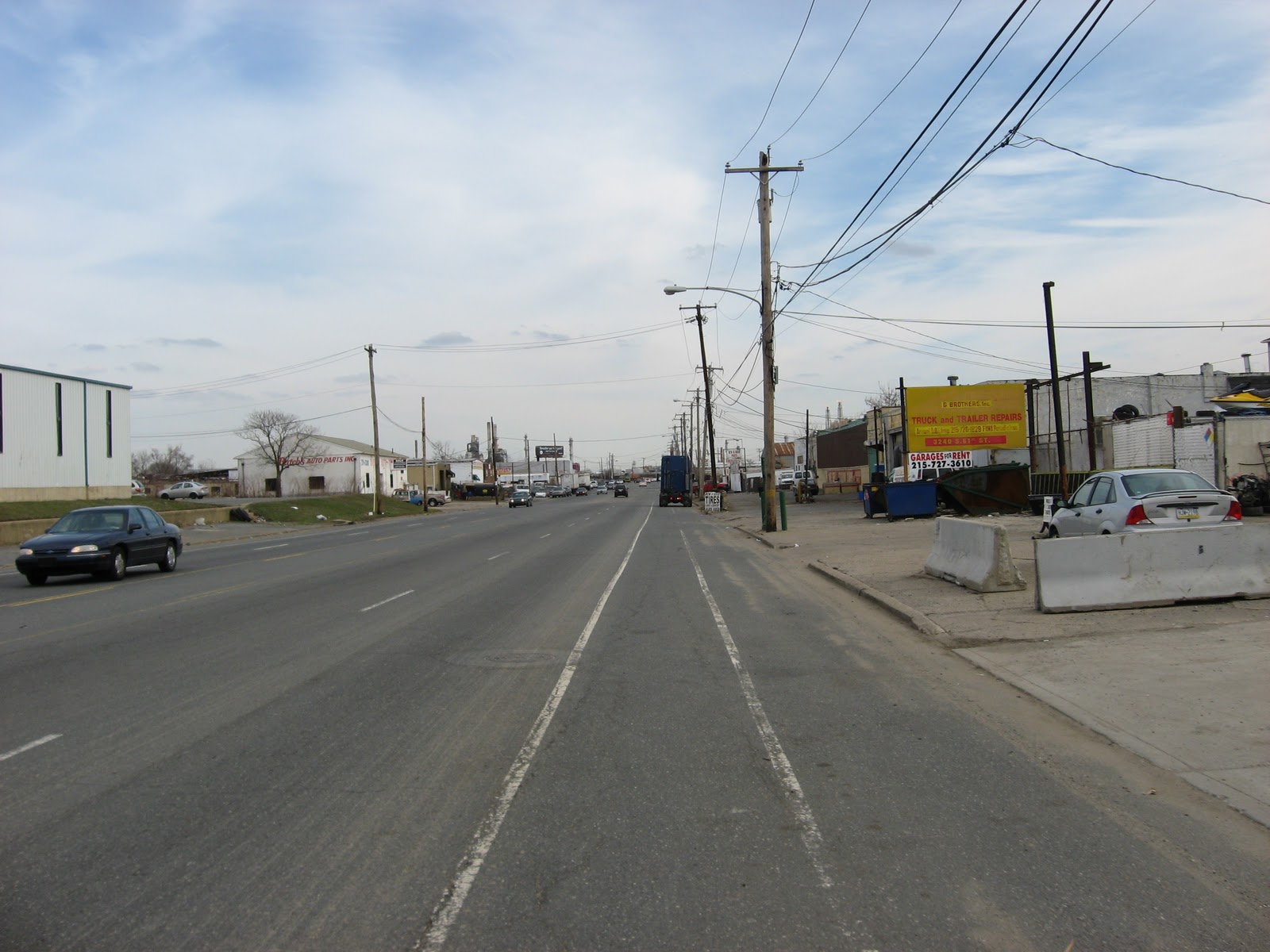
tracks going every which way we made it to Lindbergh Blvd. It is a strange road
to bike down; the road starts out as fairly large arterial, however the further
southwest we travelled the more the road turns into an actual boulevard.
As in many areas in the city typical Philadelphia rowhouses
line the side streets of the boulevard. What
is fascinating is the highly customizable nature of the rowhouse. Lindbergh
runs through Eastwick and as an area developed in the mid 20th
Century many of the houses take on architectural styles popular at the time. Just
take a look at this late 1970s beauty; not only do you get a stone fenced
parking spot and little yard, you get an entire house that is shingled. For those who are enthusiastic about living
inside a roof.

Lindbergh essentially leads to the entrance the John Heinz National Wildlife Refuge
where we left the busy road for peaceful serenity. Zack and I had visited the refuge on a ride
before but only got as far as the visitors center. This time we rode the entire trail!

The refuge was created as part of the early 1970s
federal environmental push for protecting sensitive and important lands. Before
rapid industrial urbanization during the early 20th century the
entire area, which is home to the PHL airport, Sunoco Refineries and Navy Yard,
used to be tidal marsh lands. By 1970 most of the marshlands had been built
upon under the auspicious of economic growth. The more than 1,000 acre Heinz
site was one of the last natural areas left and was under development pressure
from a sanitary landfill to the north and Interstate 95. John Heinz, a senator
from Pennsylvania, was the champion of securing the national wildlife
designation. The wildlife refuge was named for him shortly after his premature
and uncanny death in 1991. According to Wikipedia, John Heinz
died in a plane/helicopter collision over a school in Lower Merion that killed
all passengers on board AND two kids. On
a much cheerier note, the Heinz Wildlife Refuge has been deemed very successful
and is now home to over 80 species of animals, including a nest of Bald Eagles.
The first part of the refuge trail is on a compacted
gravel path, much like the Manayunk Towpath trail, and follows the banks of the
Darby Creek. Near the visitor’s center
there is a boardwalk with observation areas over a large impoundment (which is the
term for an area of water that is made by constructing dams or embankments,
a.k.a a man-made pond). The boardwalk
provides stellar views of the expansive airport and long stretch of I-95, as
well as the wildlife in the area. When Zack and I were there we saw several
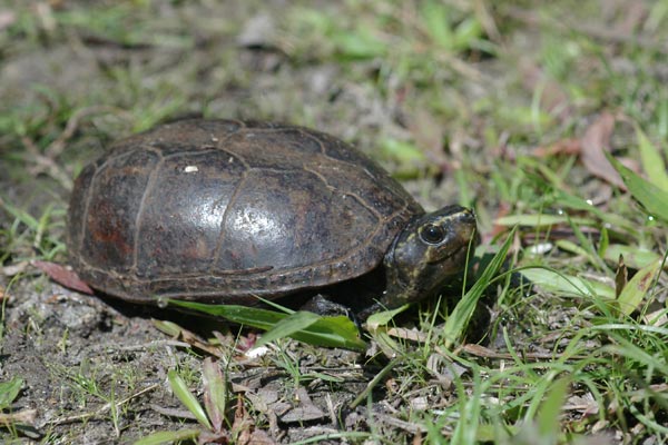
types of turtles; painted
turtles, mud
turtles, and my favorite name, stinkpot
turtles. Stinkpots are adorable,
they’re so small!!


About a quarter mile down the trail is another observation
area, this one being a “tower” (it’s really only two levels). We took another break to explore. However, this exploration was not as relaxing
as the edges of the upper level were filled with mud dauber’s nests. They
seemingly didn’t bother Zack. We still made it to the upper level which
provided more expansive views.


Shortly after the observation “tower” the trail gets a
little bumpier until is eventually turns into a path of large gravel rocks.
Loretta was not pleased as she (and I) were real worried about either skidding
out or getting a flat tire. However as
the trail moves further from the impoundment it winds along other water
channels and through some amazingly wooded areas.


There were several
birds that Zack and I heard/saw as we traveled.
However one of the coolest occurrences we had is when we were biking and
around a corner and there was this deer chilling; completely unphased by us.


As we rode further both Zack and I were becoming a
little over the inconsistent gravel road. The road eventually exited the woods
and pretty much became dirt road next to i-95. Additionally, the further we toured
the more the weeds there were growing into the road. Even though it was awesome
to bike through a shaded natural habitat, the last half of the ride made it
almost not worth it, for me at least.
I’m not a big fan of ticks; really bugs in general.


The trail ends just north of the interchange of I-95
and State Route 420 in a gravel parking lot, not an ideal spot. Also not ideal
is to get to the airport we had to bike over the cloverleaf
interchange at I-95, which is probably one of the trickiest things to do on
a bike. I know if I was driving I’d be cursing out whatever biker is trying to
cross that as those loop ramps are ridiculous even in a car. On the other side
of I-95 lies the heart of Tinicum Township; two little towns named Lester and
Essington. Neither are recognized towns but both are fairly historic. Essington
is the site of the first recorded European settlement in Pennsylvania. 40 years
before William Penn, the Swedes settled in the upper Delaware Bay and
established forts where present day Wilmington and New Castle, Delaware are.
They expanded their reach up to Tinicum Island but only for a short 10 years,
in 1655 the Dutch gained control of the region and in 1674 the English captured
it. Through this entire turnover the Swedish settlers were mostly the only
Europeans in the area. In fact, when Philadelphia was founded many of the
original buildings were built in the Swedish log cabin manner as that was the
only building technology here at the time.
Today there are no indicators of this Swedish heritage
in Essington. It looks like any coastal, Mid-Atlantic town, there are a few
businesses along Wanamaker Ave and bunch Cape Cod inspired houses scattered
among a small grid. The only remnant of the Swedish influence in the area is
Governor Printz Park, sandwiched between a motel parking lot and a yacht
club. Governor Printz was one of the few
governors of New Sweden while it was its own colony and built Printzhof, a two-story,
log house on the site of the current day park. The park is essentially a deep
grassy lot with dated interpretive signage and a walled river bank. Even though
the river bank is walled, it is one of the only spots with public access to the
Delaware River along Tinicum Island. Additionally, all of the signage (there’s
a lot of it too) tells the story of the colony of New Sweden. Neither Zack nor
I cared that much about it though and by that time it was getting late and we
had to boogey if we were going to make it around the airport.


When we biked away from the park we entered more of
the industrial section of Tinicum Township.
Along the north side of 2nd Ave. sits the Airport
Business Complex, 130+ acre industrial complex which claims to have the
first “smart-grid business complex in the country”. However I’m not putting much stock into that
claim as looking at their website it seems like a fake company - most of the webpages
are in gibberish. After cycling along a
long stretch of industry to the north and natural reeds to the south we turned
onto Hog Island Road. Named for the island the PHL airport began on the road
runs 5 miles around the southern perimeter of the airport. The ride is fairly monotonous as the entire stretch
contains a railroad track and line of trees along the riverbank to the right, and
the airport’s open fields to the left.

Zack and I paused a couple of times along Hog Island
Road. First, we saw this brown
shimmering fuselage in the distance and as we got closer it was easy to
indicate it was some sort of burned up airplane. Turns out it is the airports fire training
center. Not pictured below, but an equally creepy part of this site is a very
long metal tube that must be used for training people to climb through HVAC
ducts. It made no sense though.

We used this stop to explore the river bank on the
other side of the road from the fire training center. Zack made a comment about how it’d be a great
place to dump a body. I concurred seeing that there was no one for miles and a
large refinery across the river.


The rest of the ride was the same, periodic points of
interest along the airport side (i.e. a field of UPS containers and an air
traffic control tower) but nothing worth stopping for. One of the coolest parts
of biking Hog Island Road though is the ability to stand under a plane as it
lands seemingly on top of you. I only
got one picture of it on this trip because we running out of time. Along with
the picture below is a video that my friend Sarah shot as we went on this ride
a few years back.

It’s a little nerdy but it’s also a pretty surreal experience. When a jet lands overtop of you there is an awkward delay and then everything that lies in the approach path gets blown around as the jet engines have an immense amount of power. The video is of a prop plane, as Sarah points out, which do not have the same swoosh effect.
The last stop that Zack and I made along our journey
before we diligently biked home was at Fort Mifflin. Almost at
the end of Hog Island Road this historical treasure is lost behind an
ill-marked sign and a confusing entrance to an industrial complex.
The fort was built a few short years before the
American Revolution in order to protect the booming city of Philadelphia from
pirates. The City of Philadelphia was the largest colonial city to not have a
defense system in place due to its Quaker roots. The fort briefly served as a
battle ground in the revolution before the British destroyed it to gained
control of Philadelphia in 1777. After the revolution John Adams commissioned Pierre
L’Enfant to redesign the fort and renamed it for Thomas Mifflin, a merchant
and major general in the revolution. Apparently it is a very interesting layout
on the inside of it, and has some of the few examples of Greek revival architecture
in military buildings. The fort was used mostly as a prison during the Civil
War, housing Confederate soldiers and political prisoners. Additionally a hospital was built on the
outside of the fort’s walls to attend to the sick. Fort Mifflin saw very little
action after the Civil War and was decommissioned in the 1960s where the City
of Philadelphia gained control of it and the Old Fort Mifflin Historical Society was
created to preserve and maintain the site.
Zack and I didn’t go into the fort due to time and the
fact that neither of us had $6 at the moment. We biked along the parking lot
and I took a picture of the outside and the hospital - that now serves as the
offices for the historical society.


From the fort we continued along Hog Island Road, under a runway and onto Island Avenue where there is another tricky interchange near the Sheraton, but not as death defying as a cloverleaf. Once we crossed under I-95 it was smooth sailing from there, with the exception that I lost Zack right near his house and he somehow ended up at 54th and Baltimore. Whoops.