As I stated before I had an idea for a bike ride during a trip I had
taken to FDR Park earlier in the week.
On my way back to my new apartment I biked up a large portion of 7th
Street and found it to be absolutely fascinating. It was kind of like a cross section
of South Philadelphia. So I thought it’d be awesome to bike up the entire
length of a numbered street to get a fuller perception of the city.
Choosing a route was kind of difficult. While essentially there are 24
some-odd routes one can take through the city (approx how many numbered streets
run through Center City) after some initial research there aren’t many
continuous streets. There is the obvious one; Broad Street, but I have biked on
that before and found it to be 1) too busy and 2) not a very good cross section
of the city as far as neighborhoods. Many neighborhoods’ boundaries are on the
edge of Broad Street and one side of the street can be completely different
than the other. Additionally, many of
the numbered streets west of Broad end just north of Temple. That left east of
Broad. There are several streets that are quasi-continuous. 7th is probably the longest
because it goes through the Sports Complex.
Front and 3rd were also considered. However I settled on 5th because
it has some cool features: 1) a tunnel, 2) it’s a commercial corridor further
north and 3) it does not get broken up by the Vine Street expressway, Roosevelt
Blvd or the large railroad corridor (near Temple). So 5th it was, below is a map of
my route as well as the stats:

Miles
|
Minutes
|
Speed
|
Calories Burned
|
24.3
|
120
|
12.1
|
1,445
|
Also I made a reference map of all the neighborhoods I cycled through
or bordered. There were several
neighborhoods I went through and part of the reason for making this map is for
me to get my bearings as much as it is for you the reader. Because there is a lot to write about I’m
also just going to highlight the neighborhoods I am talking about in that
post.

The ride started off with me biking to what might be described as the
grundle of civilization, the Comcast service center at Columbus and Reed. This is where time goes to die, as one has
to wait in line with people dropping off their Comcast equipment (i.e. me), or
people that don’t understand the concept of a toll-free phone number. These patrons get the same service from representatives
that could care less if they are talking to humans or a flock of Canadian Geese. Anyway, that happened and I continued south
to my starting point at 5th and Oregon.

The ride begins in a sea of parking lots and auto dominated businesses
lining Oregon Ave. But just a few blocks
north lays Whitman,
a neighborhood whose namesakes is the large, suspension bridge just south of
the shopping along Oregon. The blocks are
typical of South Philly blocks; two story, simple rowhouses that have at least
one of or more of the following three elements: awnings, vinyl siding somewhere
on the house, or a picture window.


The area is also home to Mifflin Square, one of the few block sized
squares found throughout South Philly, similar to Girard Park (in Girard
Estates) or Dickinson Square just to the northeast of my route. However this square is a little drabber then
the others ones, the trees are not as large, the grass looks fairly untended,
the sidewalk seem like it has seen better days.
There also is not much in it but a newer looking playground and an older
looking basketball court.


Continuing up 5th Street I entered the neighborhood of Pennsport. Pennsport is
somewhat hard to distinguish from Whitman, at least the part along 5th
Street. But it’s much more storied as it
has been a residential area for the docks and industry that lay along the
Delaware. The neighborhood is also home to 2 Street, a portion of 2nd
Street that houses many of the Mummers’ clubhouses. While I was biking through
Pennsport I made two discoveries. First, this animal hospital which I had to snap a
picture for my riding buddy Zack.

Second, I found an abandoned hospital, Mt. Sinai. The hospital used to be part of what is now
the defunct Graduate Health System. The
system, whose namesake hospital is at 18th and Lombard, was bought
in the mid 1990s by Allegheny Health and promptly went bankrupt, forcing the
abandonment of Mt. Sinai. Although the hospital
is 11 stories and takes up an entire city block it is very small. When shuttered in 1998 it only had a capacity
of 170 beds and 500 employees. In comparison,
Pennsylvania Hospital, a relatively small hospital, contains 515 beds and employs
2,700 people. After closing there were plans for to turn the hospital into a
long-term care center, and most recently into condominiums. Both of those never got off the ground.


Additionally, in Pennsport there are several abandoned lots right along
5th street, which is surprising for the amount of density that is
contained in the area. However some of
them were intriguing, like the following which seems to have been turned into a
park a few decades back and then forgotten. I also appreciated the sign next to
this “park”


North of Mt. Sinai (or Reed Street) is an area that looks like it was redeveloped
by the Philadelphia Housing Authority (PHA).
However I found no information to support this theory, in fact from the amount
of for sale signs the houses seemed to have been developed privately. Regardless, they are an utter shift from the Philly
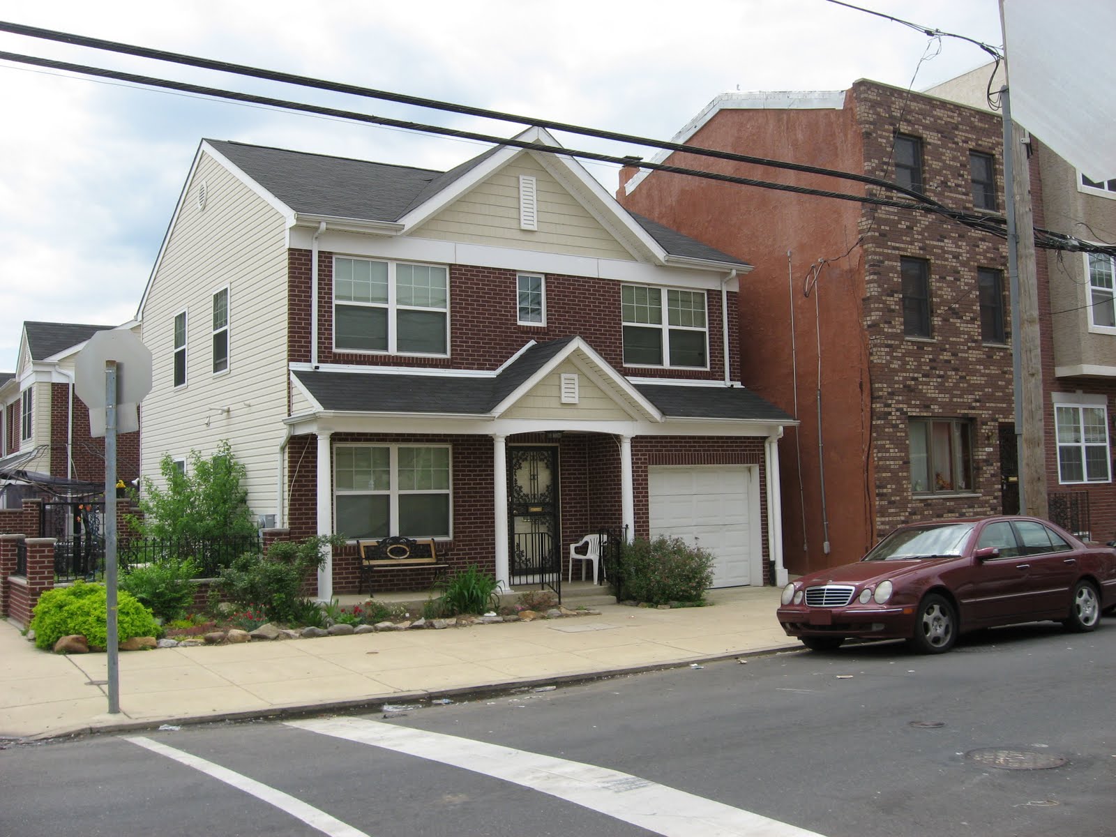
rowhouse typology. Constructed in what it looks like the mid-2000s, the houses
are actually duplexes with a traditional suburban style porch, first floor
brick, second floor vinyl façade and a lovely garage.
Except this guy he is just straight up single family house. The rowhouse next to him looks very confused
about how his neighbor got there.
After crossing Washington Ave I entered Queen Village. This area lies
just south of Center City and is one of the oldest areas in the entire
city. Once named Southwark, the
neighborhood used to be home to a large number of Swedish immigrants during the
colonial days of the city. There is even
a church
on Columbus Blvd that is a reminder of the area’s Swedish heritage. Today, the area is a mix of several different
architectural styles dating from the 18th century trinity to the 21st
century mega-rowhouse; a rowhouse that has a two-car garage, a Palladian window
and possibly a balcony. It’s like a
Cherry Hill (New Jersey) “cottage” was stuffed between the Betsy Ross house and
a typical Philly rowhouse. Biking along
5th Street I passed what is actually PHA housing and then entered
the adorable commercial center where 5th, Bainbridge/South, and
Passyunk meet. The intersection makes
for some interesting urban form.

I want to end this post by discussing some of the demographic
observations I made while biking thorough this section of South Philly. Along 5th Street in Whitman and
Pennsport there is a diverse collection retail: Asian beauty parlors, Hispanic
grocery shops and corner stores which look like they have been owned by the
same Italian family since 1904. After
looking at the NY Times’ 2010
census map I realized that the area just west of 5th Street is
extremely diverse. There is even one
census tract that is practically ¼ White, ¼ Black, ¼ Asian and ¼ Hispanic. Also the two neighborhoods are quite possibly
the densest area in the City of Philadelphia, approx. 45,000 – 50,000
people/sq. mi. Comparable to the densities surrounding Rittenhouse Square and in
the Gayborhood.
Looks like a pretty decent neighborhood close to town. Thanks for posting. For additional PA real estate resources, check out PhillyLiving.com
ReplyDelete-Jackie