Last week I blogged about a ride I went on with my dad along the
Olentangy River in Columbus, Ohio; that was not the entire ride. We also biked
along the trails (and streets) of Downtown Columbus and the surrounding
neighborhoods.
Background/Introduction
I feel before I get into the ride I should provide a little background
on Downtown Columbus as it is quite possibly the main reason I became
interested in planning. When I was a
kid, my mom (who is a school teacher and had summers off) would let my brother
and I choose a day where we could do whatever we wanted and I ALWAYS chose to
go downtown. Coincidentally my interest in city planning coincided with the
beginning of the Columbus’ re-focus on downtown. As with many Midwestern cities
downtown was the center of city’s economy, but over decades of suburbanization,
neglect, and in Columbus’ sake a full-fledge dependence on automobiles;
downtown was turned into a 9
to 5 wasteland of parking lots and office buildings. With the exception of
a failed downtown mall it had become accepted that downtown be a place where
people work, then drive home to the residential suburbs and neighborhoods to
live. In the late 1990s two things
happened to drastically change this attitude.
First, Fortune 500 company - Nationwide Insurance, markedly took an
interest in downtown development by proposing an arena as well as a 75-acre
entertainment district surrounding it. Creating Nationwide Realty, the
real-estate development arm of the company, their vision for the Arena District is practically complete
10 years after finishing construction on Nationwide Arena. Today the district
is home to hundreds of apartments and condos, dozens of restaurants and bars,
an 18,000 seat arena, a 10,000 seat ball park and a 4,500 seat outdoor
amphitheater.
Second, in 1999, Michael Coleman was elected to his first term as
mayor, in 2011 he was re-elected for his 4th term. Coleman brought
with him a renewed sense of concentrating planning and economic resources
downtown. In 2002, Coleman launched a development initiative for downtown to
become a mixed use center that would be home to 10,000 new housing units within
10 years. While the lofty ambition of
constructing 10,000 units has fallen short, downtown has more than doubled
their housing stock and has a roughly 1,000 more under
construction/planned. A feat that is
more than impressive in a national housing recession. In fact downtown has gone through its second
planning process in less than 10 years, with the completion of the 2010 Downtown Columbus Strategic
Plan.
For reference, below is a map of Downtown Columbus, the different
districts/neighborhoods that are contained within the boundary and a yellow line that
represents the route my dad and I took. To give you a scale of reference the
area inside the downtown boundary is roughly 2.2 square miles, or the entirety
of Center City Philadelphia. However, where 60,000 people live in Center City
only about 6,000 live in Downtown Columbus. According to the 2010 plan, more
than 25% of the land in downtown remains surface parking lots.

Ride Along the Scioto
With my partial-nerdfest out of the way I can continue on with the
ride. So as you might remember I ended
last time at Confluence Park – where the Olentangy and the Scioto rivers
meet. The path crosses over a fairly
nondescript bridge and continues along the Scioto River running east.


Shortly after riding along Spring Street we entered one of the newest
downtown parks – North
Bank Park. The 9 acre park is part
of the larger effort to green the downtown riverfront and connect the city to
the waterfront. Finished in 2005 the park was mostly funded by the State of
Ohio (benefit of being the capital) and the city. The main feature is a large
waterfront plaza and glass pavilion that is available for private rentals. In fact
when we biked through it looked as if they were setting up for a wedding and
when you have this as the back drop – it’d be my first spot too:

The rest of the park is a network of sinuous sidewalk paths that lead
to a waterfront trail and through large grassy patches. Linked directly to the
park is the Condos at North Bank,
one of the larger residential developments within the past 10 years at 20
stories. The river bank is simply made up of limestone rocks and even herons.


Directly next to North Bank Park is the riverfront park that I remember
when coming downtown with my mom during our summers. Named Battelle
Riverfront Park, the park was designed in 1992 for the quincentennial of
Columbus’ voyage across the Atlantic. In fact the City of Columbus was so emphatic
about this celebration that someone ordered a replica of the Santa Maria to be docked
here. No seriously. The Santa Maria is still there today, 20 years after the
quincentennial celebrations, although it’s looking a little tired. The rest of
the park takes a cue from a post-modern playbook with over-sized lights, concrete
promenades and a few benches.


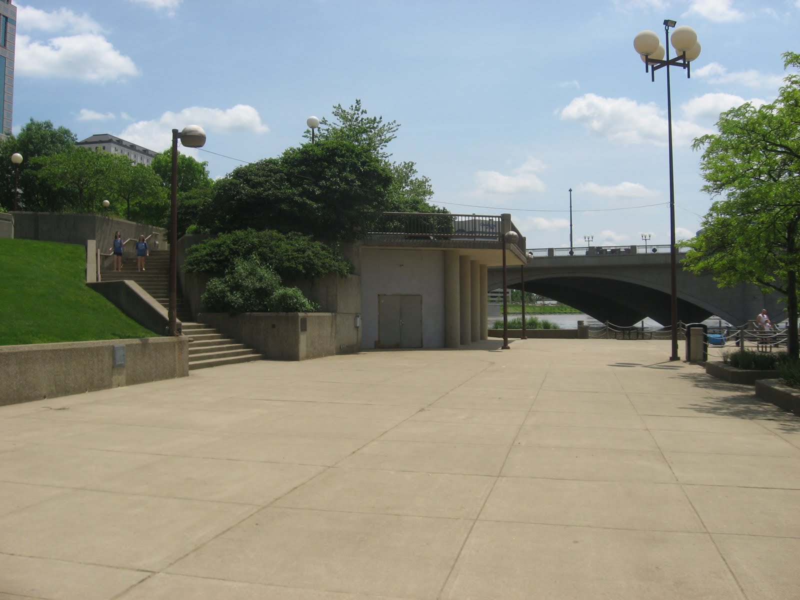

As one can tell from that last picture there was no more riverfront
path as the promenade under the bridges was underwater at the time of our ride.
So my dad and I went up the ramp to Civic Center Drive and continued our ride
through the city. Much of the improvements
that have been under construction since I left Columbus lay along Civic Center
Drive. The Scioto Mile is a $40
million redesign of the promenade and civic park just to the south in honor of
the city’s bicentennial, which is in 2012. Bicentennial Park’s redesign (the
park was actually named for the nation’s bicentennial in 1976) will include a café,
large public restrooms, bio-retention area and a large fountain. The park is
scheduled to open within a month (July 2011).


Along Civic Center Drive is one of my favorite buildings in Columbus – the
Ohio Judicial Center. The building was constructed in the early 1930s and is a quintessential
example of an art deco public building.
Not only is the white marble building beautiful in itself its setting is
breathtaking, centered in the bend of Scioto River and flanked by large public
spaces.


Just south of Bicentennial Park is the area named River South. The area
is under a lot of construction, mostly from streetscaping improvements but also
from a few large projects including, the new Franklin
County Courthouse and the Annex at River
South apartments. The Annex
apartments are the brainchild of Lifestyle
Communities, a developer of large suburban apartment and condo
complexes. It’s impressive what they
have done at the Annex as the development conforms to the street grid and does
a respectful job of covering the parking entrances to interior garages.

After biking along uneven streets and between orange barrels we ended
up in the Brewery District. As one can surmise from the name it historically was
the center of beer production in Columbus. However the area is currently a mix
of loft-style condos and apartments, office space and a large suburban-style
Kroger(s). To the west of the Brewery District is Columbus’ newest Metro Parks. There is nothing like Metro
Parks in the Philadelphia region that I can think of. Unlike the city’s parks
and recreation department, Metro Parks is a regional park system that
transcends municipal and county jurisdictions and is typically concerned with
land conservation more than recreational space.
Along the Whittier peninsula, Metro
Parks purchased 94 acres of post industrial and warehouse space and constructed
Scioto Audubon Park
as a bird sanctuary and wetland reclamation area. The park not only hosts large passive wetland
areas but also a boat ramp, bike trails, dog park and a FREE outdoor rock
climbing center. The area was extremely
busy when we passed by it.


Additional to the open and recreational space the park houses the Grange Insurance Audubon Center. Opened
in 2009 the center it is one of the nation’s first urban Audubon centers. Set up on a hill overlooking the park and downtown
the center evokes a modern prairie style building. A few notable design
features are the landscaping around the center is full of native vegetation and
is essentially a large rain gardens and the windows are covered with graphics
designed to keep birds from flying into them.


After biking down a path that was closed, again due to construction, my
dad and I returned to the city grid and biked north along High Street. Before
turning back to the riverfront trail we passed Columbus Commons, yet ANOTHER park
space recently constructed, this time on the site of the failed City Center
Mall. The park is designed as a large open space bordered by developable
parcels, for the time when the market rebounds.
Columbus Commons is so new that it officially opened two days after I
returned to Philly.


Even though we had to bike the trail back to our car this concludes my babbling
about my hometown ride. As evidenced by
the amount I wrote about the city – more than biking itself – it is a city that’s
very dear to my heart. So in conclusion
to the whole post I’ll end with an obligatory shot of the state capitol
building.

No comments:
Post a Comment